CLASSIFIED LANDSCAPE
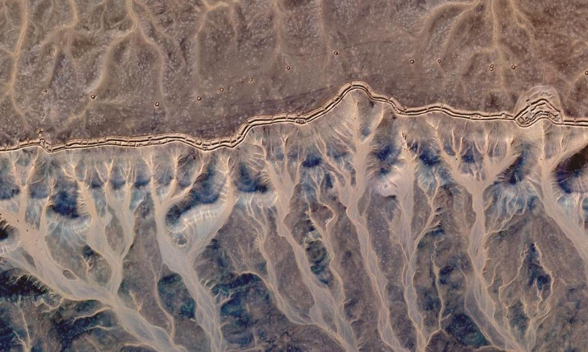
2016Classified landscape is a stopmotion video made from thousands of screenshots of Google Earth satellite in an area prohibited from access by Morocco.
It is a insight in the desert along a separation wall of more than 2,700 kilometers which cuts Western Sahara in two : the West of the territory is occupied by Morocco, while the East is under the control of the SADR (Sahrawi Arab Democratic Republic).
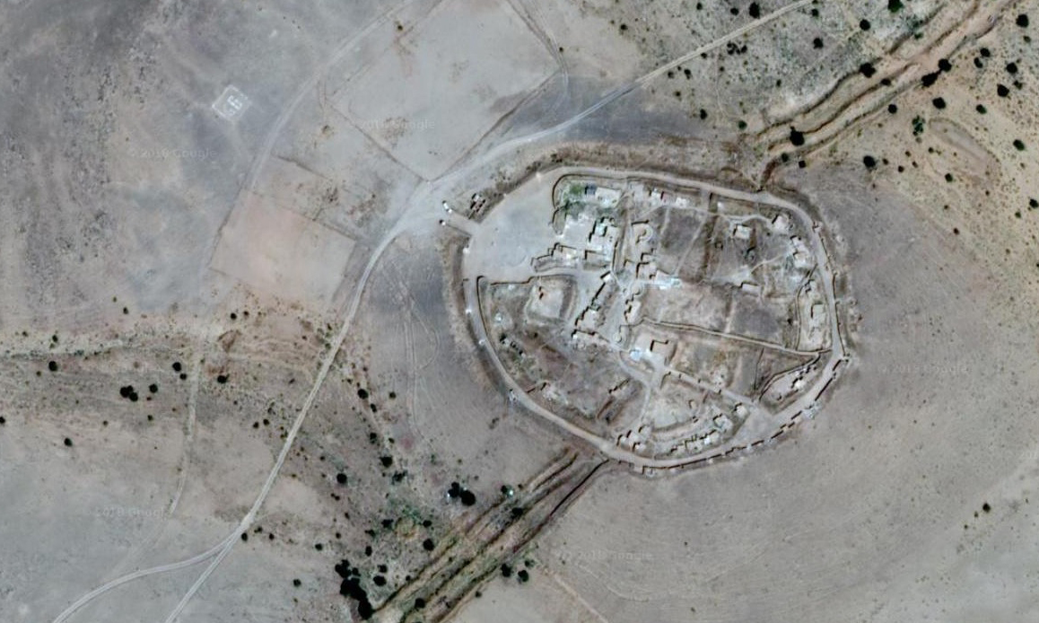
Built between 1980 and 1987 by Morocco, this wall marks a decisive turning point in the conflict. Acting as a bulwark against the assaults of the Polisario Front, its goal is to secure the occupied zone in order to intensify colonization.
It is a insight in the desert along a separation wall of more than 2,700 kilometers which cuts Western Sahara in two : the West of the territory is occupied by Morocco, while the East is under the control of the SADR (Sahrawi Arab Democratic Republic).
Built between 1980 and 1987 by Morocco, this wall marks a decisive turning point in the conflict. Acting as a bulwark against the assaults of the Polisario Front, its goal is to secure the occupied zone in order to intensify colonization.
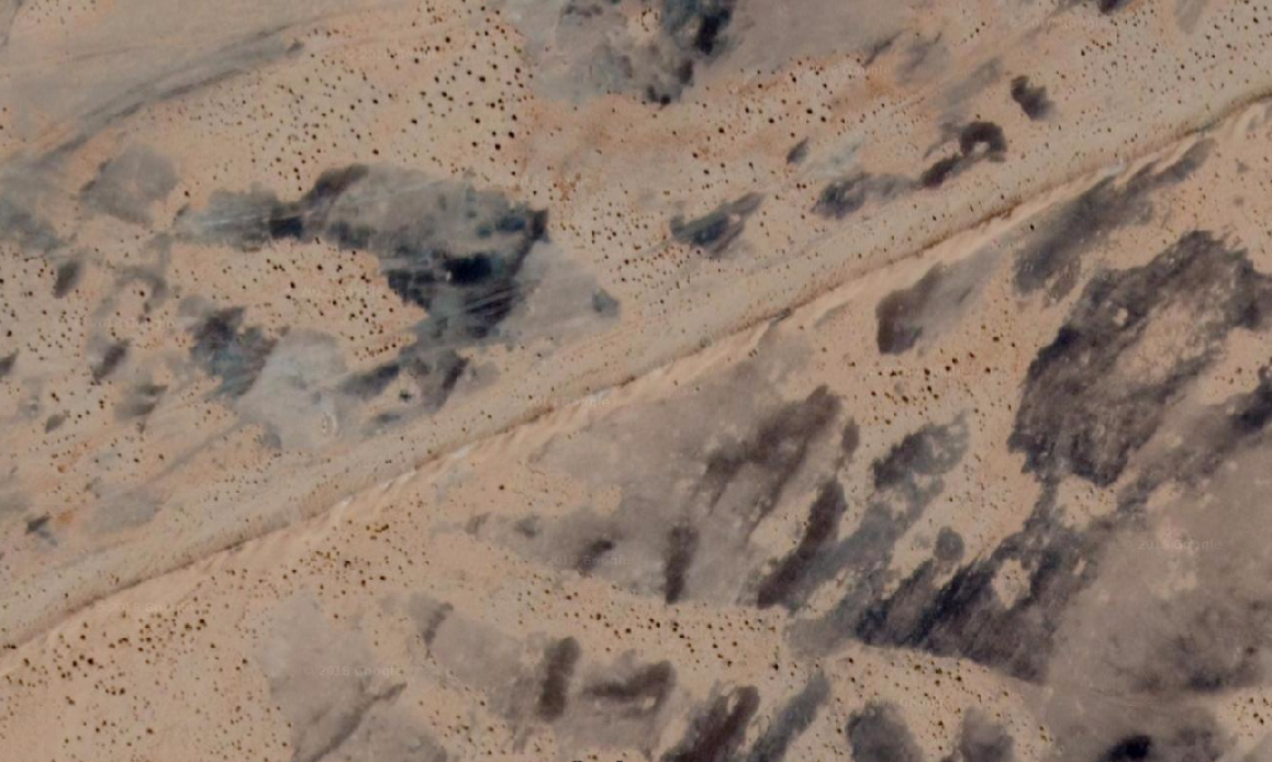
These repetitive tracks in the middle of the desert reveal the absurdy of the project in terms of logistics, financial and human costs : military barracks every 5 to 10 km accompanied by a rapid intervention post, for a contingent of more than 90 000 soldiers. The journey also reveals the ecological damage caused by this wall.
This film underlines the desire of man to conquer and defend territories of which he draws the new limits. Limits that lock him in on himself.
The sound recordings explore the modulations in the whistling of the wind according to the obstacles it encounters in this desert : from military defense walls to civil occupation walls.